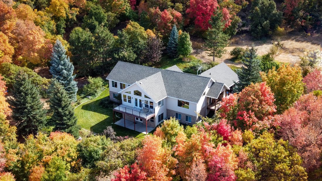
Aerial drone view of a large house surrounded by an autumn forest, in the Québec City area Illustration photo

Aerial photo and video · Québec City area

Aerial drone photos and videos in Québec City

For real estate brokers listing a property and for contractors tracking a construction site. Prices are published. Images are delivered 24 hours after the flight.

  • From $349Listing Lift, launch price
  • Delivery in 24 hafter the flight, or it's free
  • 15 photos, video and Reelincluded in Listing Lift
  • Commercial airplane pilotairspace checked before every flight

Our services

Two services, two types of clients

Show the whole property

Real estate brokers. An aerial view shows what ground photos cannot: the lot size, the backyard, the pool, the garage, the trees and the distance to the river, parks or schools.

See broker packages

Track a site every month

Construction contractors. One flight per month, always from the same angles. You show progress to your client, your bank and on social media, with the date of each image.

See the Construction package
See pricing
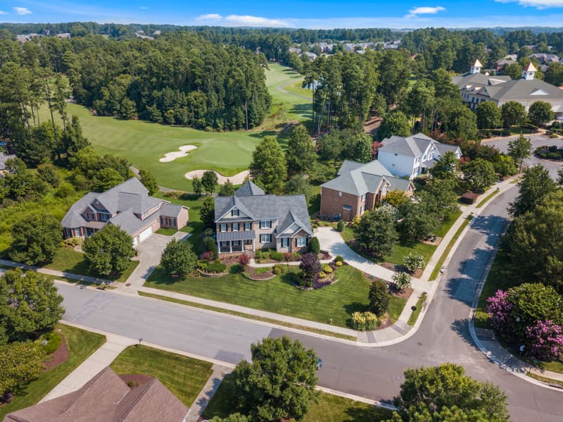
Aerial drone view of an upscale residential neighbourhood along a golf course Illustration photo
Aerial photos
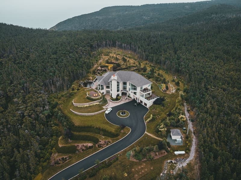
Aerial drone view of a modern home set on a forested hill by the sea Illustration photo
Drone video
MONTH 1MONTH 3MONTH 6
Site monitoring
Illustration

Packages and prices

Three packages. The price is the same for everyone. Taxes are extra.

Real estate brokers

Listing Lift

$349 per property

$449 Launch price for the first 10 brokers only.

The essential aerial images for a listing.

  • 15 edited aerial photos
  • 1 aerial video, 45 seconds
  • 1 vertical Reel for Instagram and Facebook
  • Delivery 24 hours after the flight, by download link
Choose this package

Construction contractors

Construction

$349 per month, 6-month minimum

One flight per month to track your site's progress.

  • 1 flight per month, always from the same angles
  • 20 aerial photos per month
  • 1 progress video per month
  • Shared folder with every date, for your clients, your bank and your marketing
Choose this package

Prices before taxes (GST and QST). No payment on the website. You receive the invoice after the images are delivered. Payment by Interac e-Transfer or bank transfer, within 15 days.

Two written guarantees

Delivered in 24 hours, or it's free

You receive your images no later than 24 hours after the flight ends. If we miss this deadline, you do not pay for the session.

You like the images, or you don't pay

If you are not satisfied with the images, tell us by email within 48 hours of delivery. You do not receive an invoice and you do not use the images.

Why choose us?

Written commitments, published prices

  • Edited images

    Colour, exposure and sky corrected on every photo.

  • Prepared flights

    Airspace, weather and authorizations checked before every flight.

  • Delivery in 24 hours

    No later than 24 hours after the flight, or it's free.

  • Québec City area

    Québec City, Lévis and nearby. Fees outside the area written in advance.

How it works

  1. You send the request

    Fill in the form, send an email or call. Give the address, the package and your preferred date.

  2. We check and confirm

    We check the airspace, the weather and the required authorizations. Then we confirm the date in writing.

  3. We fly

    On site, the session usually takes less than one hour. If the weather does not allow flying, we offer another date at no cost.

  4. You receive the images

    You receive a download link no later than 24 hours after the flight. The invoice comes with the delivery.

Who flies

William Landry, commercial airplane pilot

William holds a commercial pilot licence for airplanes (multi-engine, instrument rating). He trained at CFAQ in Lévis. He comes from a family of aviators going back several generations.

Before aviation, he worked in construction at Construction RICAR. He knows how a construction site works.

Important: an airplane licence does not replace Transport Canada's drone requirements. Every drone flight follows the rules that apply to drones.

Read the About page

Frequently asked questions

How far in advance should I book?

Usually 2 to 7 days. If the property or site is in the controlled airspace of Jean-Lesage Airport, an authorization from NAV CANADA is also required. This authorization can take up to two weeks when NAV CANADA reviews the request manually. We send the request on the day you book.

When do I receive the images?

No later than 24 hours after the flight ends. You receive an email with a download link. If we take longer than 24 hours, you do not pay for the session.

Download the files as soon as you receive them: the link's expiry date is written in the delivery email.

Can you fly near Jean-Lesage Airport?

Several parts of Québec City are in the controlled airspace of Jean-Lesage International Airport, for example around L'Ancienne-Lorette, Sainte-Foy and Saint-Augustin-de-Desmaures.

In these areas, a drone flight requires a drone pilot certificate for advanced operations and an authorization from NAV CANADA, requested through the NAV Drone app. We never fly without this authorization.

If NAV CANADA refuses or does not answer in time, we offer another date or we cancel. In both cases, you pay nothing.

What happens if it rains or it is windy?

We do not fly in rain, snow, fog or strong wind. We check the weather the day before and the morning of the flight.

If conditions are not good, we email you to offer a new date. Rescheduling is always free.

See all questions

A property to list or a site to track?

Send the address and your preferred date. You receive a written answer with the price and availability within 24 business hours.